Hydrographic surveying is one of the most technical branches of land surveying, yet many professionals overlook the continuing education it demands. From acoustic depth systems to offshore positioning, these courses cover skills that directly affect project safety and data accuracy. For surveyors working near water or in coastal infrastructure, keeping up with the right land surveyor continuing education courses is a career necessity.
Water Is Not a Boundary, It Is a Work Zone
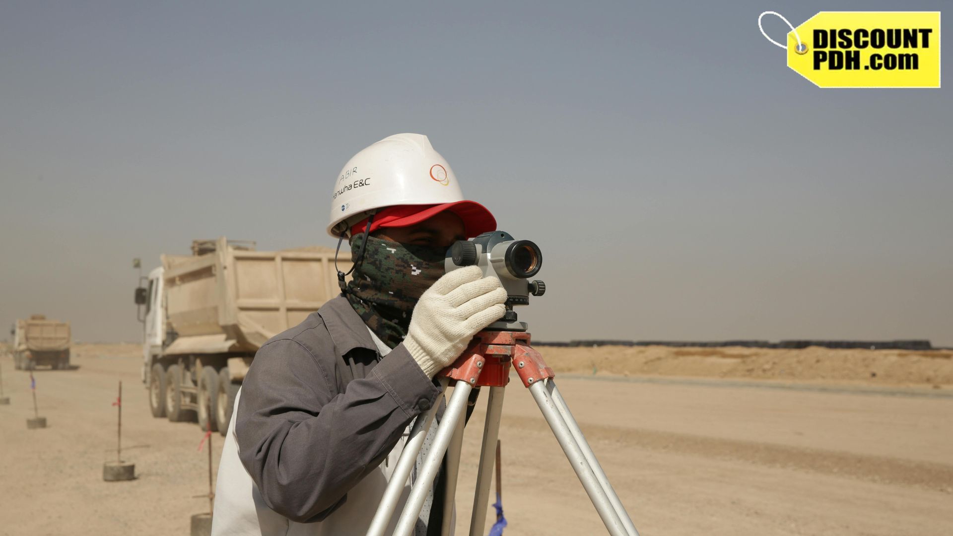
Most people picture land surveyors standing in open fields or along road edges. The reality is far broader. A significant portion of surveying work happens on water, near water, or in environments where traditional ground-based methods simply do not apply. Offshore platforms, coastal construction projects, port expansions, and underwater pipeline routes all require precise survey data before a single dollar gets spent on construction.
Hydrographic surveying fills that gap. It uses acoustic systems, GPS positioning, and depth measurement tools to map what lies beneath the water’s surface. This is not entry-level work. It requires specialized training, updated methodology, and a clear understanding of both equipment limitations and data interpretation. That is exactly why land surveyor continuing education courses in this area carry so much weight.
What Hydrographic Surveying Actually Involves
Hydrographic surveying is the process of measuring and describing physical features of bodies of water and the land areas adjacent to them. Surveyors collect depth data, map the seafloor or riverbed, and document underwater hazards. This data feeds directly into navigation charts, coastal engineering plans, and offshore infrastructure projects.
The work covers more ground than most people expect. A hydrographic surveyor might spend one week mapping a harbor entrance and the next working on an offshore oil platform route. The tools change, the conditions change, and the standards shift depending on the project type and location. Getting land surveying PDH courses focused on hydrographic methods is the ultimate way to stay updated for engineers.
Single Beam vs. Multi Beam Acoustic Systems
Two of the most commonly covered topics in hydrographic PDH courses are single-beam and multibeam acoustic depth measurement systems. These tools use sound waves to measure water depth, and each works differently.
Single-beam systems send one acoustic pulse directly below the vessel and record the return time. They are straightforward and widely used for smaller projects or areas with predictable bottom terrain. Multi-beam systems, on the other hand, send dozens of acoustic signals in a fan-shaped pattern, capturing a wide swath of the seafloor in one pass.
Here is why this distinction matters for continuing education:
- Multi-beam systems generate massive datasets that require post-processing software skills
- Calibration errors in single-beam systems can produce depth readings that are off by several meters
- Each system has specific use cases tied to project scope and regulatory requirements
- Data formats differ between systems, and knowing how to handle both is a real advantage on the job
Understanding the strengths and limitations of each system is a core learning outcome in courses like Acoustic Multi-Beam Survey Systems for Deep Draft Navigation Projects and Single-Beam Acoustic Depth Measurement Techniques.
Offshore Positioning Techniques and Why They Are Harder Than They Look
Positioning on land uses fixed reference points, benchmarks, and known coordinate systems. Offshore, those references disappear. Surveyors working on open water must rely on GNSS positioning, acoustic transponders, and sometimes a combination of both to maintain accuracy.
The challenge is that vessels move constantly. Even small movements from waves, currents, or engine drift can throw off measurements if the positioning system is not properly configured. Courses on offshore positioning techniques address motion compensation, coordinate datum selection, and how to integrate real-time positioning data with depth measurements. These are not abstract concepts; they directly affect whether the final dataset is usable or not.
Airborne LiDAR and Coastal Mapping
Airborne LiDAR has changed how coastal zones are mapped. Instead of putting a vessel on the water, surveyors can now use aircraft-mounted laser systems to capture elevation and bathymetric data simultaneously. This is especially useful in shallow-water areas where vessel access is difficult or unsafe.
Airborne LiDAR topographic surveying courses walk professionals through how the technology works, what accuracy levels are achievable, and where the data gaps tend to appear. Coastal engineers, environmental planners, and port authorities all use LiDAR-derived data. Surveyors who understand the methodology behind the data are far more valuable on those projects than those who do not.
Ethics in Specialized Surveying Fields
Technical skill alone does not define a competent surveyor. Professional ethics matters just as much, especially in high-stakes offshore environments where errors can affect navigation safety or environmental compliance. Land surveyors’ ethics courses cover the standards of professional conduct that apply across all surveying disciplines, including offshore and hydrographic work.
Misrepresenting data accuracy, cutting corners on calibration, or failing to flag known errors are not just ethical violations. They can have legal consequences. Understanding the professional standards that govern these situations is part of what it means to be a licensed surveyor. Ethics continuing education keeps those standards front of mind, especially as technology evolves and new gray areas emerge.
Who Actually Needs These Courses
Not every licensed surveyor will spend time on a vessel. But the pool of professionals who benefit from hydrographic and offshore PDH training is larger than most people assume.
- Surveyors working in coastal states where port, marina, or waterway projects are common
- Professionals involved in oil and gas infrastructure, pipeline routing, or offshore platform work
- Civil engineers and surveyors contributing to flood mapping or FEMA-related studies
- Consultants working on dredging projects, dam assessments, or reservoir surveys
- Any licensed surveyor looking to expand into a higher-demand specialty
State boards generally accept these courses as part of the standard PDH renewal requirement. Completing them does not require specializing in marine work full-time. They simply add a layer of technical knowledge that makes a surveyor more versatile and more competitive.
Answers to Common Questions About Hydrographic and Offshore Surveying PDH Training
Q1. What is hydrographic surveying used for?
A1. It is used to map underwater terrain, measure water depth, identify submerged hazards, and support the design of ports, pipelines, coastal infrastructure, and navigation charts.
Q2. How do acoustic depth measurement systems work?
A2. They send sound pulses from a vessel toward the seafloor and measure how long the pulse takes to return. That time gets converted into a depth reading using the speed of sound in water.
Q3. What is the difference between single-beam and multi-beam systems?
A3. Single beam measures depth at one point directly below the vessel. Multi-beam captures a wide swath of the seafloor in a single pass using multiple acoustic signals, producing a much denser dataset.
Q4. Do land surveyors need hydrographic training to renew their license?
A4. Not specifically. Most states require a set number of PDH credits without mandating specific topics. Hydrographic courses count toward that total and add a specialized skill set.
Q5. Are land surveying PDH courses on offshore topics accepted by state boards?
A5. Yes, in most cases. Courses covering recognized surveying methodologies from approved providers are accepted for license renewal across the majority of states.
Q6. Why are ethics courses required for surveyors doing offshore work?
A6. Offshore and hydrographic projects carry significant safety and liability implications. Land surveyors’ ethics courses reinforce the professional standards that govern how data gets reported, documented, and used.
Q7. What is airborne LiDAR used for in surveying?
A7. It captures elevation and depth data over large areas using aircraft-mounted laser systems. It is especially useful in shallow coastal zones where vessel access is restricted.
Q8. Can completing hydrographic PDH courses lead to new career opportunities?
A8. Absolutely. Surveyors with documented training in offshore and hydrographic methods are better positioned for work in coastal engineering, oil and gas, infrastructure planning, and environmental consulting.
Take Your Surveying Skills Into Deeper Waters
Hydrographic and offshore surveying is a field that rewards preparation. The professionals who stand out are not just the ones with the most field hours. They are the ones who keep their technical knowledge sharp and their credentials current. Sitting through generic courses just to hit a renewal number is a missed opportunity.
DiscountPDH is right here with its full catalog of land surveyor continuing education courses that include acoustic depth measurement, offshore positioning, airborne LiDAR, GPS surveying, and ethics, all in one place. These courses are affordable, self-paced, and accepted nationwide. Remember, our catalog is a practical starting point, not just a compliance shortcut.